Geography
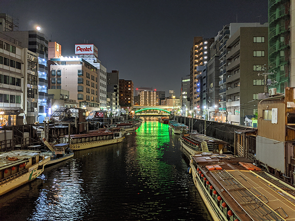
Nihonbashi’s geography is often described as a shitamachi, meaning a business district that is flat and close to the sea level. Nihonbashi is the heart of central Tokyo and connects other major districts such as Ginza, Asakusa, Akihabara, and Ryogoku. There are many bridges over the canals and Sumida River, one of the largest waterways in Tokyo. The canals were created in Nihonbashi and its surrounding area in the 17th century so that goods and people could be transported straight from Tokyo Bay to Edo Castle, where the Imperial Palace is located today.
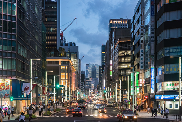
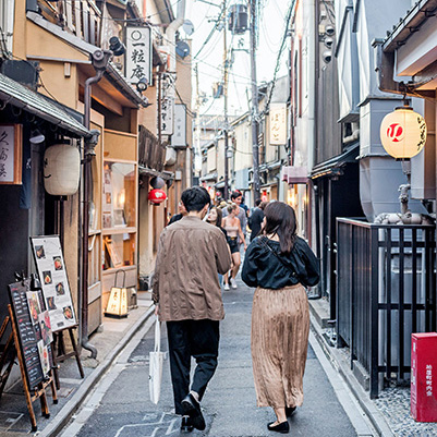
Nihonbashi is small enough for you to explore on foot. However, it consists of several subdivisions and looks and feels unique depending on where you are in the area. Southwest Nihonbashi is a business district a full of shopping malls, office buildings, and historical sites. The mixture of Art Deco and modern styles in the architecture gives a feel of a metropolis. The wide sidewalks on the main streets are decorated with flowers and offer bright streetlamps and the access to different types of public transit.
Northeast Nihonbashi is where the majority of population resides, and we have apartments, schools, parks, arcades, and places of worship. Compared to southwest Nihonbashi, the buildings are a lot shorter in general, and streets are filled with restaurants and other small businesses.